Showing posts with label Colo River. Show all posts

Saturday, 22 May 2021

Colo explorations: Turner to Tootie and back

A group of us explored yet another stretch of the amazing Colo River recently. 

The Colo is that long, winding, thing that drains much of the Wollemi National Park. Its geography is a little too complex for me, I've come across it from many angles, encountering many of its loopy bits, and been forever confused about what's where exactly. 

Anyway, I'm gradually coming to grips with it. This time we entered via the Bob Turner Track from Upper Colo, and ventured down the left(?) / downstream bank a couple of kilometres as far as the Tootie Creek confluence.

We'd planned to cross the river at the usual crossing point, but found it to be pretty uncrossable. The water was higher and faster flowing than I'd come across before, even this long after the floods of a few weeks back. It drains a big area, this river.

Progress was less arduous than it might have been, thanks to the destruction that had been wrought by the earlier torrents. Nevertheless, one of our members was defeated by the various obstacles, and had to be left for a while and picked up later.


Recovery was at the newly-discovered 'Australian Brewery' pub at Rouse Hill. And this was quite a discovery too.


(3rd photo courtesy Liam H, 4th photo Australian Brewery)

Tuesday, 2 March 2021

Colo Meroo circuit


Every year or three my bushwalking club gets itself around the Colo Meroo circuit in the Wollemi National Park. We assemble at the starting point on the Upper Colo Road. Here we were the other day.


Not far from the Rural Fire Brigade station in fact.


It's a somewhat contorted loop that traverses Gospers Ridge and Mailes Ridge, and although I last did it less than three years ago, I found I was still a bit disoriented. It was a bit misty, so we didn't get to see the distant city views, for instance. They were said to be on the other side of the ridge than where I'd expected them to be. It's a very winding river, the Colo, and could defeat the best navigator, I'm sure.


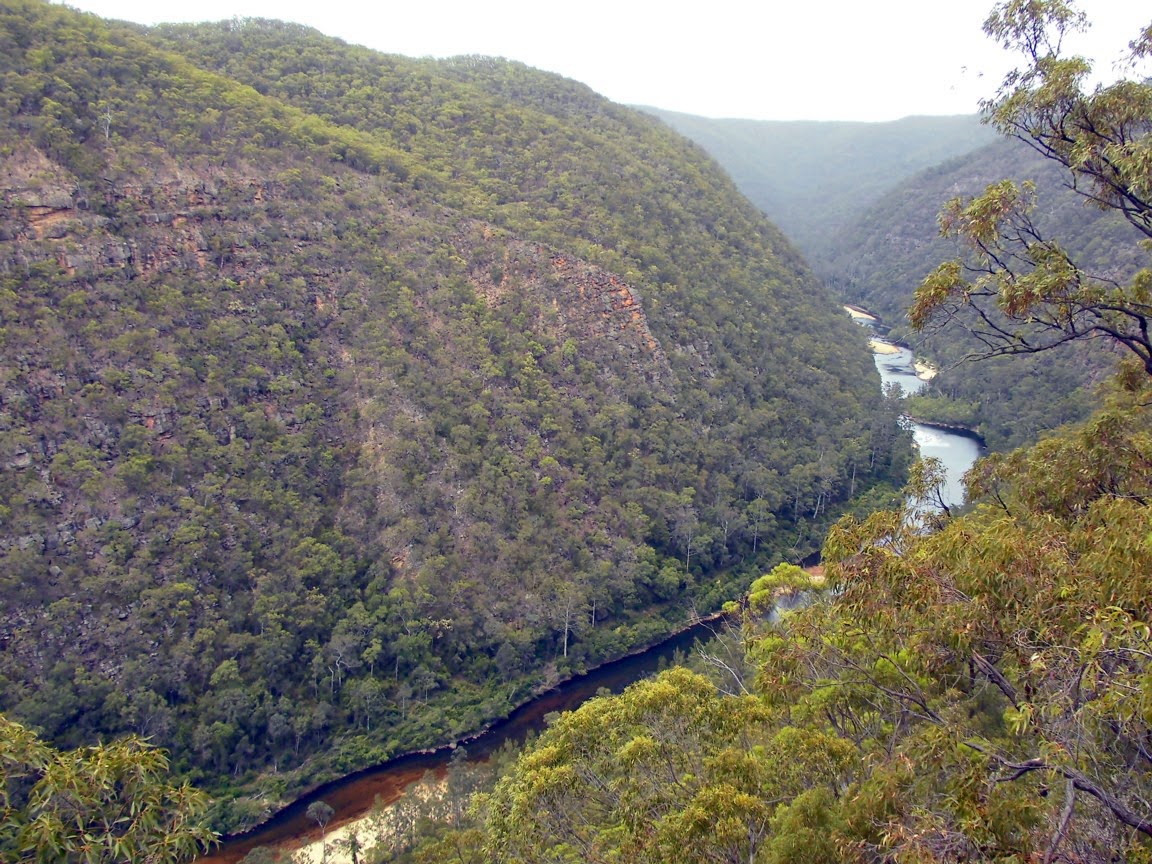
Here we are, admiring the views down to the river from Mailes Ridge.


Back down at river level, near the unexpectedly closed Meroo camping area, is the traditional swimming spot. We were ready for a cooling dip, and there was a fair bit of water in the river, following recent good rains.


The boys did a synchronised swimming demonstration.


Somehow the girls didn't look all that impressed!

Tuesday, 3 September 2019

Clumsy crossings and a Colo cave

Another fine bush expedition the other day. We visited the Colo River, about two hours north-west of Sydney.

We took the excellent Bob Turners Track down to the river. Then it was a rather inelegant (in the case of most of us) and slippery river crossing, followed by a somewhat arduous bush bash the few kilometres upstream, to Mailes Cave.


Many a slip.......


Morning tea on the south bank


Mailes Cave for lunch. Who was Mr Mailes? Good question. Nobody seems to know.


Still daylight for the return crossing, and excellent reflections.


Our crossings were somehow even clumsier and more incompetent than the morning effort. Here's a video, courtesy Meiha Cheung:


Finally back at the cars, far above the river.


Then it's a recovery dinner at the Wilberforce pub. Amazingly, there's free beer on offer tonight!

Thursday, 7 April 2016

Carry on up the Colo #2

Colo River excursions are almost always big and unpredictable events. Over the years my bushwalking companions and I have been exploring some of the multitude of ways down to it and up again. Sometimes none of us have done the particular route before, and we tend to come across unexpected obstacles, like hard-to-negotiate cliffs, very thick scrub, or running out of daylight. Here's the link to a previous such adventure: http://www.sydneysapiential.blogspot.com.au/2014/11/carry-on-up-colo.html 


Last Sunday's trip was an excellent example of the genre. We  took the Grassy Hill Trail to Canoe Creek and hit the Colo River at a sharp and scenic bend.  Then it was about two kilometres down the river, to an escape route known as Pass 18, followed by a somewhat complex ridge-top return to the cars.


There hasn't been much rainfall of late, so progression down the river works best if you just wade down it. Mostly the sand is firm and makes for easy walking.


But what's this? Quicksand!

Suddenly progress wasn't so easy at all. Fortunately we've all watched 'Mythbusters', so we know we probably won't die. You avoid panicking, and to extract yourself you go onto all fours, and maybe crawl or slither out.


This lady lost her shoe. It stubbornly refused to get found again, and has been retained by the river as a memento of our visit.


This chap went in almost to his waist. He'd foolishly had his pockets full of things that didn't take kindly to getting wet - like his mobile phone.


                         (Photo credit: J Joseph)


By the time we'd climbed out the shadows were lengthening, and we still had many kilometres of unknown ridge-top bushbashing.


Somehow we didn't take too many false leads, and fortunately the maybe-there fire trail was in fact there. It was on an old map but not the new one. So we were able to complete the walk in the darkness.

Tuesday, 25 November 2014

Carry on up the Colo

You'd have to be utterly mad to do a strenuous bushwalk on a day when it's 45.3°C, as it was recorded to be in nearby Richmond the other day. 

Well that's exactly what a small group of us did: bush bashing, boulder hopping, descending 500m down to the Colo River and back up 500m, the lot! The majority had cancelled out in deference to the weather forecast, and the remaining four of us were all hoping the others would cancel too, but they didn't. So it had to be done!


We were very careful to drink vast amounts of water, we took all day over it, and had several cooling swims, in Tootie Creek and the Colo River below.

The Colo is quite a river. It snakes its way around the half million hectare Wollemi National Park and drains a huge area. It provides lots of opportunities for somewhat challenging bushwalking adventures, confusing navigational episodes, benightings, exhaustings, and even the odd uplifting getaway camping weekend. 


Our trip was otherwise a relatively routine one. Driving in from Mountain Lagoon we started on the T3 track, then branched off to the left and down to Tootie Creek through fairly open bush (thanks to the big fires last year). Then down the creek to the Colo, and up the T3 track back to the car. And wasn't it nice to make it back!